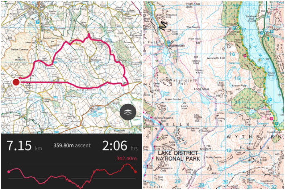
Ordnance Survey releases incredibly detailed mapping app
Mapping company Ordnance Survey releases detailed app aimed at cyclists and other outdoor pursuit enthusiasts, covering every inch of Great Britain

Remember the days when to look at a map you had to unfurl a huge piece of paper and work out exactly where you were based on the position of local landmarks? It's likely those maps were produced by Ordnance Survey.
The Southampton-based mapping company is now bringing its incredible collection of cartography to its new app, which looks incredibly detailed and is aimed at cyclists, walkers, runners and any other outdoors enthusiasts you can think of.
>>> Check out the Ordnance Survey sportives
It's free to download, but if you want the most detailed map available at your fingertips you have to pay a subscription fee.
You can access digital versions of all 607 Explorer and Landranger maps in the OS collection, which represent total coverage of Great Britain.
>>> Seven ways to find great new places to ride
The subscription also allows off-road routing options in all 15 of Britain's National Parks and will soon be available for use offline so you can use it without destroying your data plan.
The latest race content, interviews, features, reviews and expert buying guides, direct to your inbox!
If you want to subscribe for a month to cover your holiday it'll set you back £3.99, while an automatically renewing 12-month subscription is £19.99.
Stuart Clarke is a News Associates trained journalist who has worked for the likes of the British Olympic Associate, British Rowing and the England and Wales Cricket Board, and of course Cycling Weekly. His work at Cycling Weekly has focused upon professional racing, following the World Tour races and its characters.