


Amazing new tool from Ordnance Survey lets you view cycle routes in 3D (video)
Aerial 3D service from Ordnance Survey allows users to 'fly past' their cycle routes using three-dimensional aerial photographs
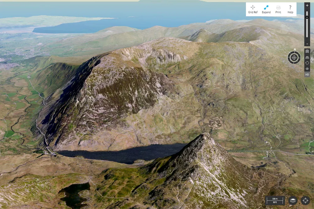
Ordnance Survey Aerial 3D
Mapping expert Ordnance Survey has unveiled a new tool that enables you to view Britain in three dimensions using aerial photography.
Aerial 3D overlays aerial photographs onto a topographical map, which can be zoomed and rotated, giving you some pretty extraordinary views of your favourite routes.
>>> Ordnance Survey releases incredibly details mapping app

The software includes an astonishing 750,000 routes that have been uploaded by various walking and cycling publications, all overlaid onto a beautifully rendered base map.
The bad news is that the new software is only available to Ordnance Survey subscribers (which will set you back £19.99) although there is a seven day trial being offered to let people try out the new feature for free.

Nick Giles, Ordnance Survey Leisure Managing Director, said that the new feature will help walkers and cyclists better plan their routes.
"The introduction of the Aerial 3D viewing tool is another major step in making the outside enjoyable, accessible and safe for all, Giles said.
>>> 17 best cycling apps: iPhone an dAndroid tools for cyclists
"The new feature is perfect for anyone thinking of hiking, biking or climbing in Britain. It helps them to plan in accordance with their skills and experience. And importantly, being able to see routes clearly in this way should help people get inspired to do more in the great outdoors and at the same time keep safe.
“There’s nothing else like it available, and this is the first of a number of exciting new features we shall be introducing over the coming months.”
