Strava expands gravel riding support with trail route recommendations
Details on route difficulty and route completion times by other Strava users will be provided with each suggestion


The latest race content, interviews, features, reviews and expert buying guides, direct to your inbox!
You are now subscribed
Your newsletter sign-up was successful
With trail sports outpacing the growth of road riding and running, social fitness tracking platform Strava has added new trail activity types including gravel riding and has developed its off-road specific routing features to help riders go exploring on their next adventure.
In short, the latest updates are:
- New ‘Gravel Ride’ activity type
- Detailed ‘Trail Route’ recommendations with difficulty information
- 3D maps added to activity uploads

'Gravel ride' activity type
Strava has found that trail sports - which include gravel riding, mountain biking, hiking and trail running - are growing twice as quickly as those on the tarmac, such as road cycling.
To better support those who are turning to the dirt for their workouts, Strava has added ‘Gravel Ride’, ‘Mountain Bike’, ‘e-Mountain Bike’ and ‘Trail Run’ to its supported activity types, of which there are now nearly 40.
The latest race content, interviews, features, reviews and expert buying guides, direct to your inbox!
‘Trail Route’ recommendations

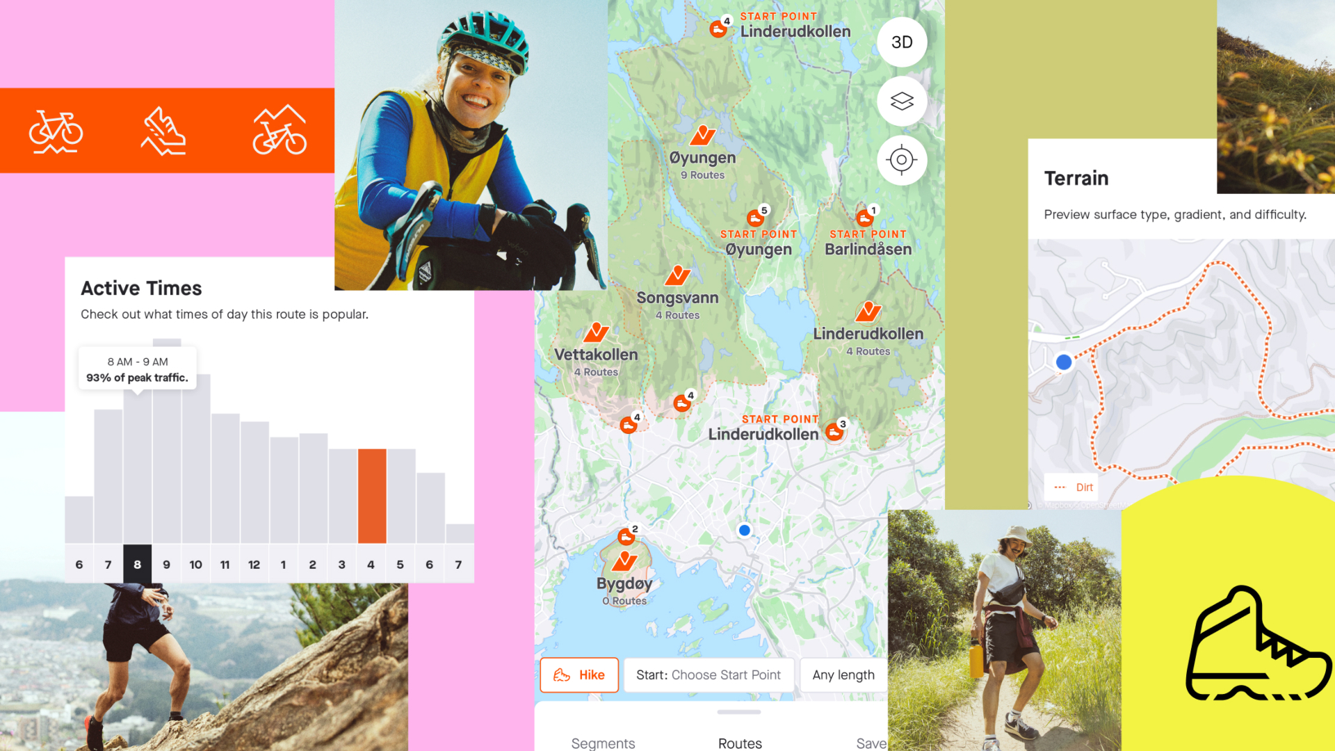
If you’re looking to go exploring on your gravel bike, Strava is also now offering subscribers Trail Routes, which specifically highlight popular trail networks and start points.
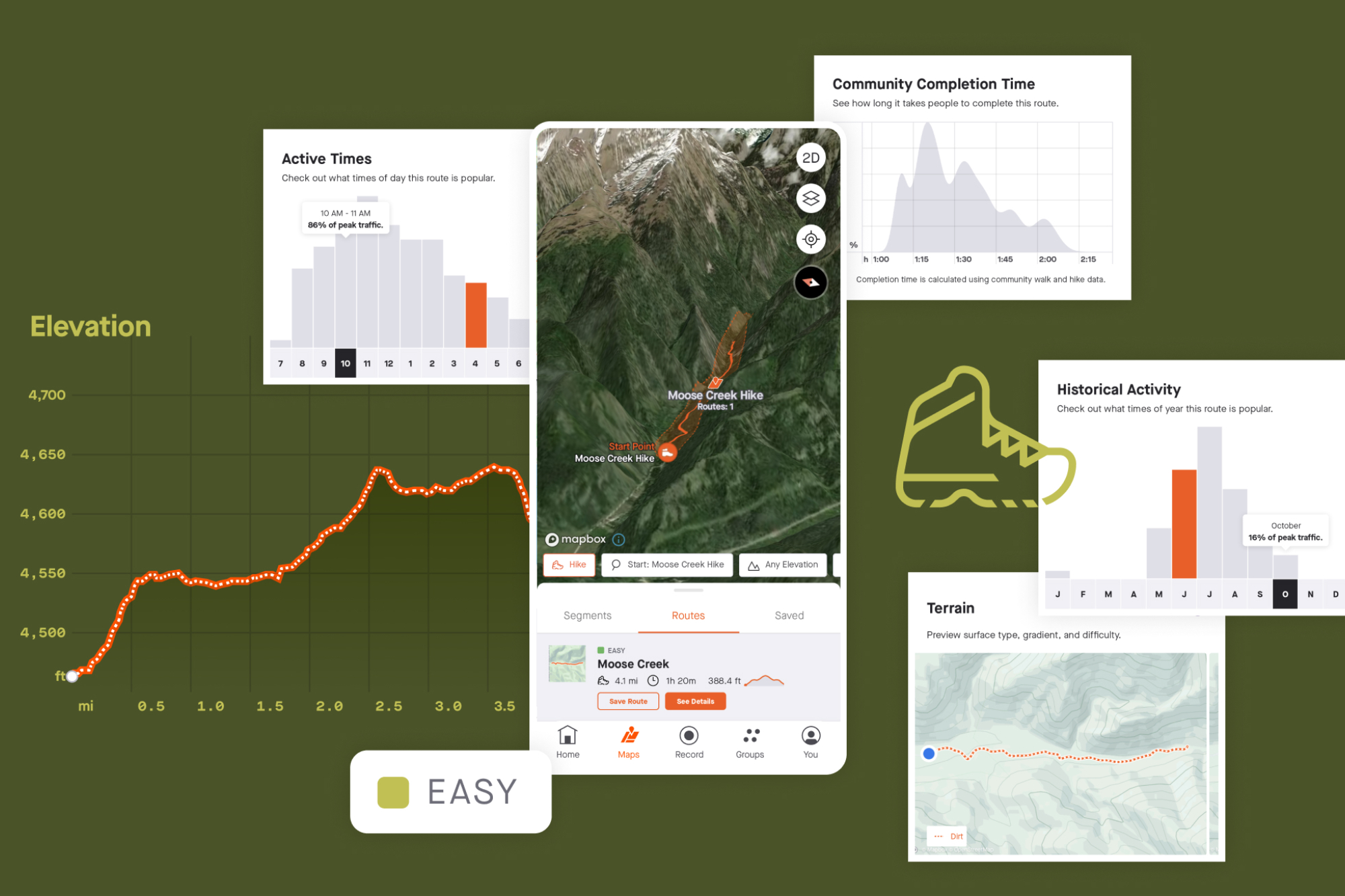
These route recommendations for the new trail sports that Strava is supporting are activity-specific and adjustable based on preference for distance and elevation - this means you should be able to find what you’re looking for, whether it’s a short hilly loop with technical climbs or a flatter longer route for a multi-day bikepacking adventure.
Alongside this, Strava says that it’s adding more information to these recommendations, “all powered by the [Strava] community who have been there before.”
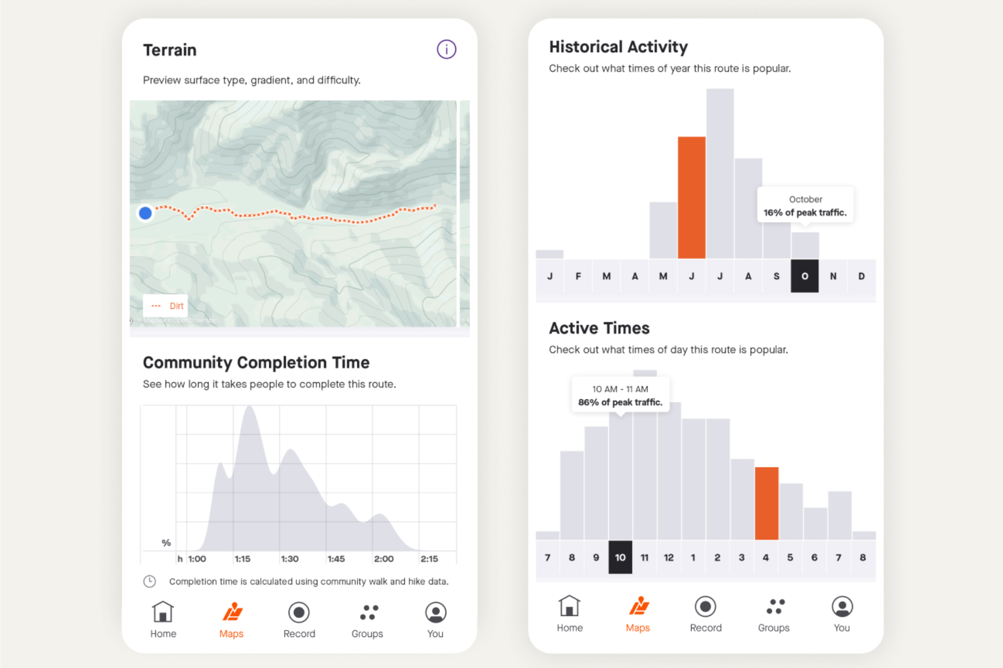
‘Route Difficulty’, ‘Community Completion Times’, ‘Historial Activity’ trends by month and time of day, and data visualisations of gradient and difficulty are all being provided to help prepare you for the route ahead.
Off-road terrain is significantly more varied than road so it’ll be interesting to see how accurately Strava manages to convey the difficulty of the routes it recommends.
"When you get a trail route from Strava, not only do you get recommendations powered by our community, you also get all the insights you need to make your time exploring as joyful as possible,” says Strava. "Know things like how long it will take you, how crowded it might be, and what's the best route for you before you go so you can explore with confidence.”
For added peace of mind, Strava says that subscribers will be able to access downloaded Trail Routes while offline or out in the middle of nowhere without any mobile signal.
3D maps added to activity uploads
Strava is also adding its 3D map style to activity uploads that appear in the activity feeds.
The activity-tracking company first introduced 3D maps within personal heatmaps to help improve route planning and has since introduced the new terrain view to the iOs and Android mobile app to help with making routing decisions while on the go.
The ability to choose this 3D map for your activity is only available to subscribers, but Strava says that all riders on the platform will see the new map style in their feed when it's used by friends they follow.
Are you getting the most out of Strava? Here are five tools that can enhance your Stava experience

I’ve been hooked on bikes ever since the age of 12 and my first lap of the Hillingdon Cycle Circuit in the bright yellow kit of the Hillingdon Slipstreamers. For a time, my cycling life centred around racing road and track.
But that’s since broadened to include multiday two-wheeled, one-sleeping-bag adventures over whatever terrain I happen to meet - with a two-week bikepacking trip from Budapest into the mountains of Slovakia being just the latest.
I still enjoy lining up on a start line, though, racing the British Gravel Championships and finding myself on the podium at the enduro-style gravel event, Gritfest in 2022.
Height: 177cm
Weight: 60–63kg